LOS ANGELES (KABC) — Gusty winds are expected across Southern California on Thursday, raising concerns that they could bring down trees and power lines, but a potentially stronger Santa Ana wind event is possible starting as early as Friday morning.
“The passage of this trough will help drive a moderate to strong northerly wind event …through Thursday,” the National Weather Service said. “Winds will peak … Thursday morning with speeds of 35-50 mph with isolated higher elevation gusts of 55-65 mph. Winds will diminish some Thursday morning, but still remain fairly breezy through the day, potentially even pulsing up slightly in the evening.”
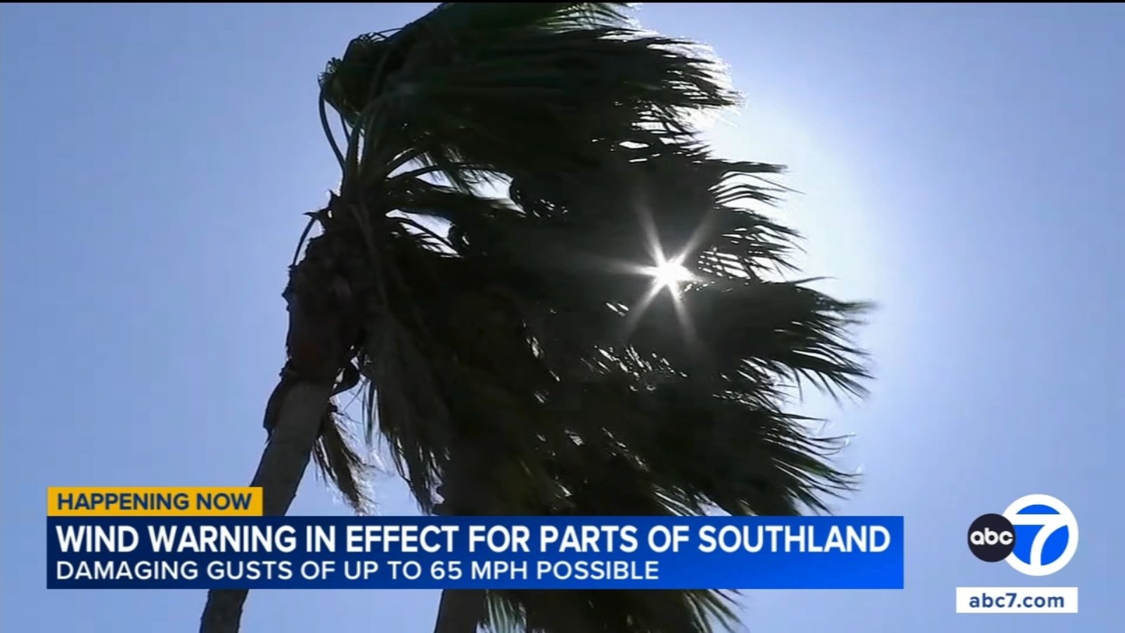
The San Gabriel Mountains and the 14 Freeway corridor will be under a wind warning until 9 a.m. Thursday, with gusts of up to 65 mph possible. A warning will impact the Santa Monica Mountains Recreational Area and Malibu Coast from 2 to 9 a.m. Thursday, with winds potentially gusting to 60 mph.
Although this wind event is not elevating the risk of fires, there are other concerns following recent storms.
“We’re more concerned about wires down, trees falling over because we know those root systems are still pretty saturated with water,” said Los Angeles Fire Chief Jaime Moore.
A less severe wind advisory will be in place until 9 a.m. Thursday in the Antelope Valley and Antelope Valley foothills, with gusts of up to 55 mph possible, forecasters said. A similar advisory was in place until 9 a.m. Thursday in the Santa Clarita and San Fernando valleys, Calabasas and Agoura Hills, where winds could hit 50 mph. Los Angeles County beaches, the Palos Verdes Hills and Catalina Island will be under a wind advisory until 9 a.m. Thursday, with winds expected to reach speeds of 40 mph.
“The event … continuing through Thursday night will bring north winds down to fairly atypical areas,” according to the NWS. “Notably, the northerly winds will squeeze through canyons and passes of the Santa Monicas, which will funnel winds into the western part of Los Angeles County, mostly remaining west of the 1-110. These winds will create hazardous travel conditions across major freeways such as the I-5, the I-405, and even travel delays due to crosswinds at LAX.”
A “moderate to strong” Santa Ana event is expected to move in Friday morning, with winds turning to the northeast. The Santa Ana conditions are expected to continue into Sunday — with Saturday likely the windiest day.
“The most likely wind speeds for this event will be 20-30 mph with gusts of 40-50 mph,” forecasters said. “However, damaging gusts of 55-70 mph are still possible, with a 40% chance in the mountains and a 20% across coasts and valleys.”
The Santa Ana winds will likely warm temperatures over the weekend, peaking on Sunday with highs in the 70s and mid-80s expected in much of the area.
City News Service contributed to this report.
Copyright © 2026 KABC Television, LLC. All rights reserved.